


01 / 03
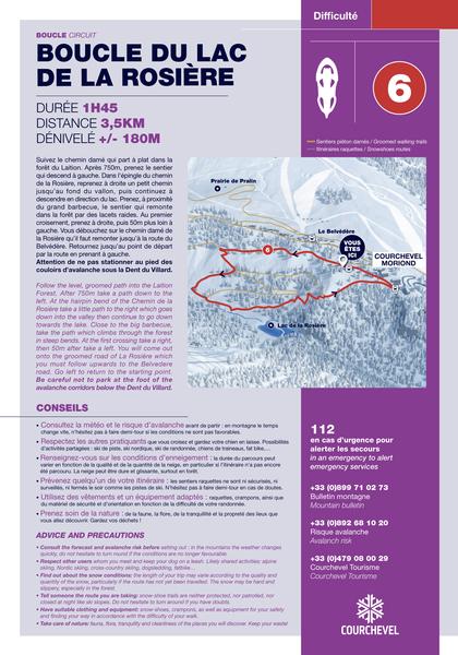
Itinéraire géologie et paysage au lac de la Rosière
Access
Starting from :
Latitude :
6.6673
Longitude :
45.408781
Map ref. :
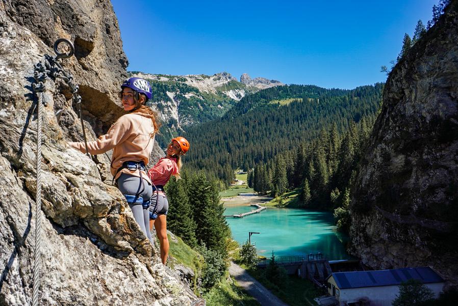
D’où viennent ces grands ravins blancs de la Dent du Villard qui captent si bien la lumière ?
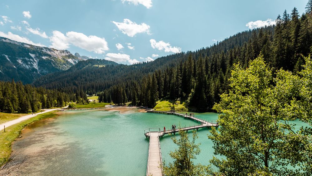
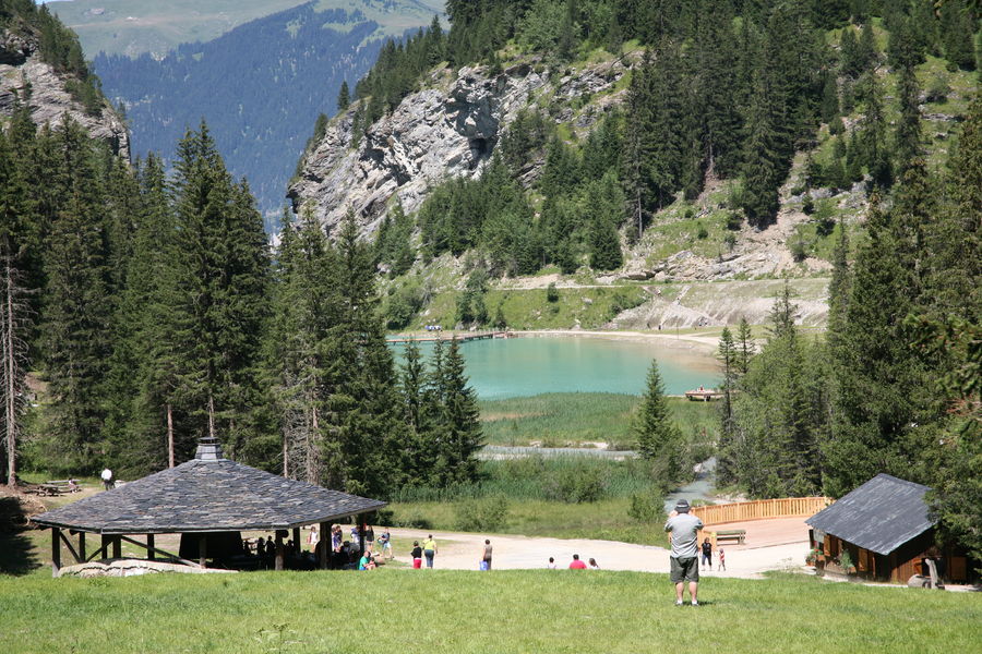
Comment ce lac bleu turquoise s’est-il formé ? Est-il ancien ? D'où sortent les surprenantes sources et cascades ?
Tant de questions sur ce lieu enchanteur auxquelles la géologie peut essayer de répondre !
Services
Rates
Free access.
Period(s) of use
From 01/05 to 31/10
Subject to favorable weather
Home
1/3

Things to discover nearby
Explore our hikes

Pedestrian sports
Rocher de Villeneuve
Courchevel
15.7km
Level red – hard
1300m
1300m
This quiet little peak has dazzling panoramic views of the Vanoise glaciers. We recommend that you go back down via Le Col de la Dent.

Pedestrian sports
Abri du Bec de l'Aigle
Courchevel
2.6km
Level green – easy
170m
170m
There is a Mediterranean forest feel to this route, which takes you to a stone shelter.

Pedestrian sports
Sentier botanique et Cascade des Poux Forêt du Laition
Courchevel
4.8km
Walkers/hikers
230m
230m
The newt pond: stop off and take the time to observe this amphibian emblematic of wetlands. Be discreet so that it comes out of its hiding place. Warning: the alpine newt is a vulnerable and protected species in France!


